For orders outside the U.S., please email us.
Also available as an Avenza Digital Map
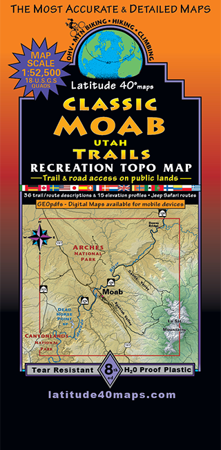
Map Coverage covers all or part of 18 USGS 1:24,000 7.5-minute topographic maps
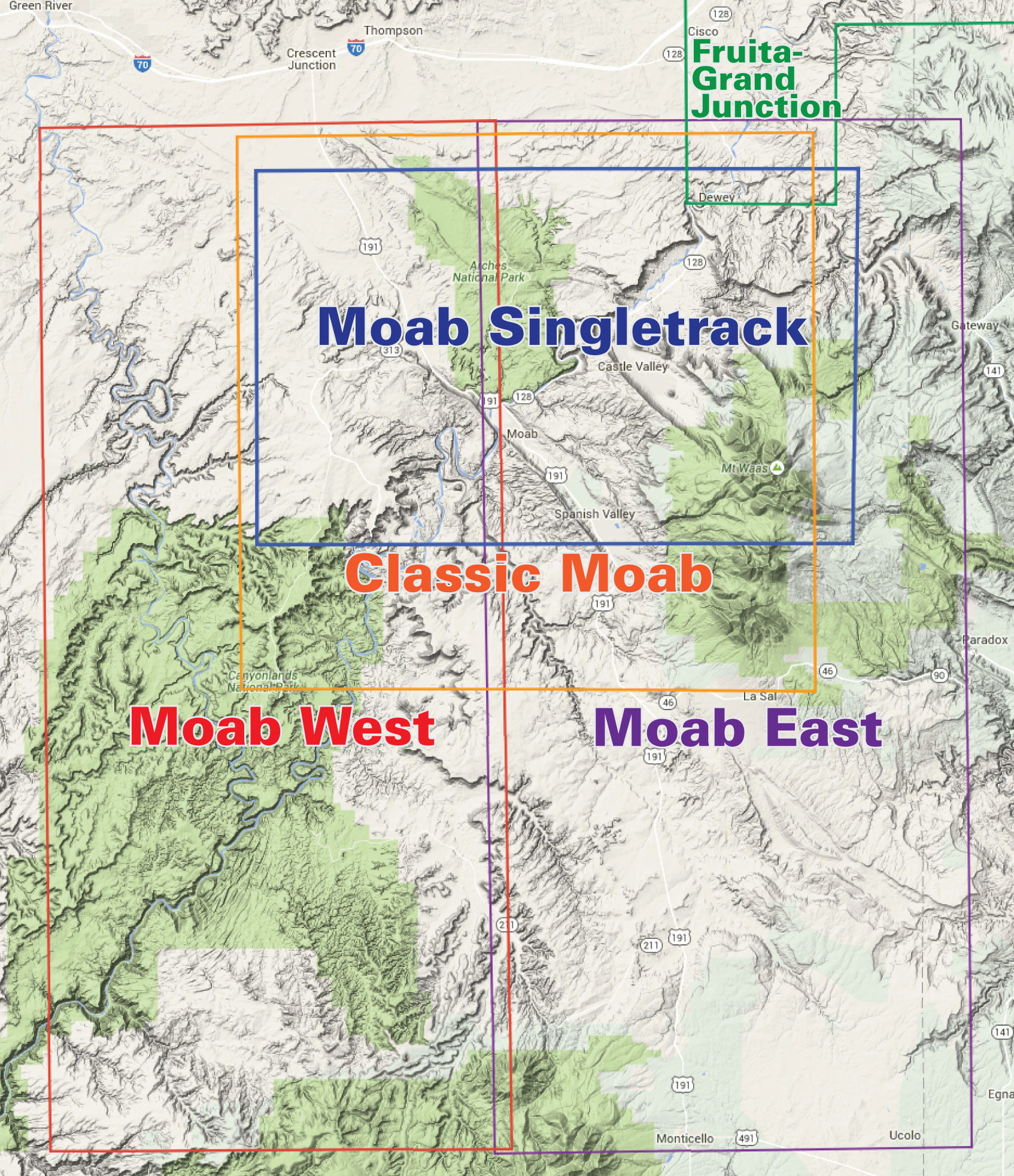
- North – Klondike Bluffs
- South – Canyon Rims Recreation Area
- East – La Sal Mountains
- West – Island in the Sky
Size 39″ x 25″
Scale 1:52,500; 1″ = 0.83 miles or 1.32 kms
Contour Interval 50 feet with shaded relief base
Latest Edition 7th – 2018
Notes
- Includes the latest new trails in the Moab area


CLASSIC MOAB MAP SECONDS
Our seconds have slight cosmetic imperfections on the cover or minor folding mishaps.
They are 5th edition maps. Not returnable.
[…] in Moab to be sure. Do you have the Lat 40 map for this area? Pick one up when you arrive if not: Classic Moab Trails | Latitude 40 Maps For rides I'd recommend 7-Mile Rim…Hurrah Pass…Chicken Corners…Gemini Bridges with its many […]