Why buy a map from us?
We do extensive research for each map we design and sell, including ground-proofing, meeting with local agencies, and talking to map users. We’ve been to a lot of the places on our maps and on a lot of the trails. That gives us the kind of expertise that can’t be matched by a computer or a software program. And, since we are small company, you can get hold of us if you have a question.
Why buy an updated map? Isn’t my old map good enough?
The simple answer is that things change all the time. New trails, new Travel Management Plans from the U.S. Forest Service, new trail alignments—all these things and more change every year.
How often do you update your maps?
We try to update a map every two years because so much can change in that time frame.
Why should I buy a physical map?
Maps don’t take batteries, they always get good reception, they aren’t a constant distraction, they don’t have monthly fees. A physical map gives you the big picture, and it’s great for planning a trip. And, you can use it in a rainstorm to cover your head (although they won’t survive a hailstorm). Seriously, we like all kinds of maps, physical and digital, and we believe that more information is always better.
Will this map be available where I’m going?
Generally, yes. We have an extensive network of retail outlets: sporting goods stores, fly fishing shops, bike shops, visitors centers, and general stores. You can always call us to find out if we have a retail outlet where you’re going, or you can order directly from us.
How durable are your maps?
Our maps are printed on waterproof, tear-resistant plastic. They can withstand a lot of wear and tear and years on the trail, snowstorms, and even a few rainstorms (although they don’t like hail).
Where do you get the information you use in your maps?
Getting good information is key to producing an accurate map. We work closely with the Bureau of Land Management (BLM), county and state agencies, and the U.S. Forest Service and use the information in their locally produced Travel Management Plans. We use 7.5-minute data for the physical features of the land. But our maps are more than just a representation of physical features. Although the land doesn’t change, trails and usage do, and we work hard to keep up with those changes on our maps. We visit many of the places on our maps and travel many of the trails. We talk to locals. Our reputation is built on our accuracy and reliability, and we work hard to build a good reputation.
Who are our maps made for?
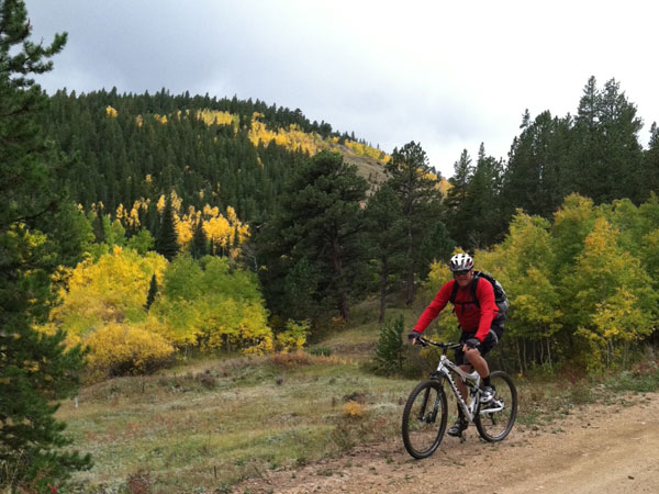
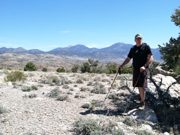
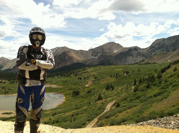
Everyone. Hikers, bikers, ATVers, climbers, backpackers, no matter who you are, if you need a good map of the trails where you’re going, check us out.


