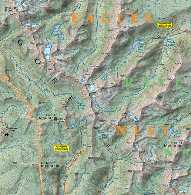
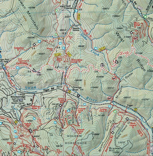
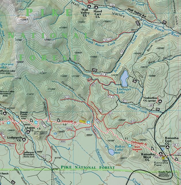
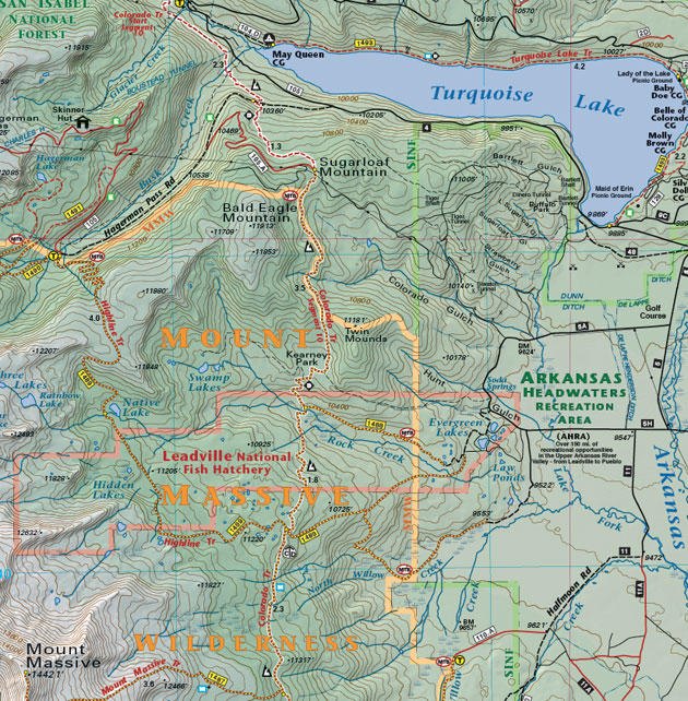
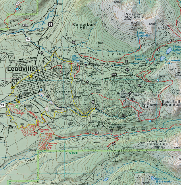
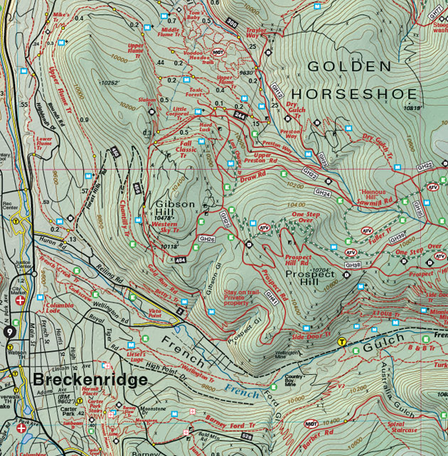
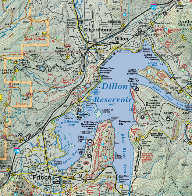
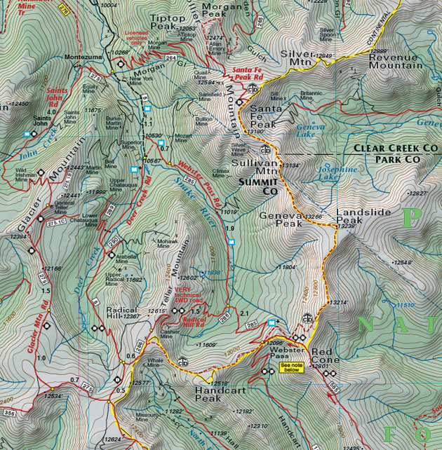
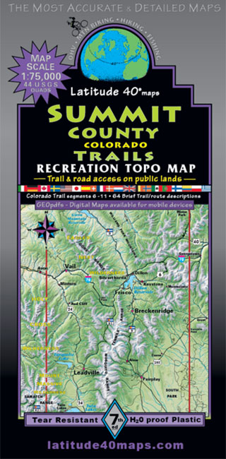
Summit County Trails
$14.95
A one-time price of $14.95 will be added to your order.
- Description
For orders outside the U.S., please email us.
Also available as an Avenza Digital Map
Map Coverage covers all or part of 44 USGS 1:24,000 7.5-minute topographic maps:- North - Green Mountain Reservoir
- South - Twin Lakes
- East - Kenosha Pass
- West - Eagle-Vail
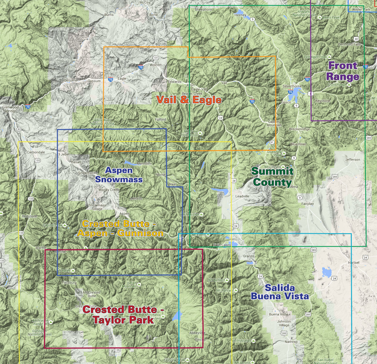
click to open locator
- 39"x 25" flat
- 8"x 4" folded
- Seven-color, double-sided map
- Inset map of Breckenridge (at 1:37,500)
- Color-coded elevation tinting
- GPS mileage between junctions
- Latitude and longitude map borders with UTM coordinates