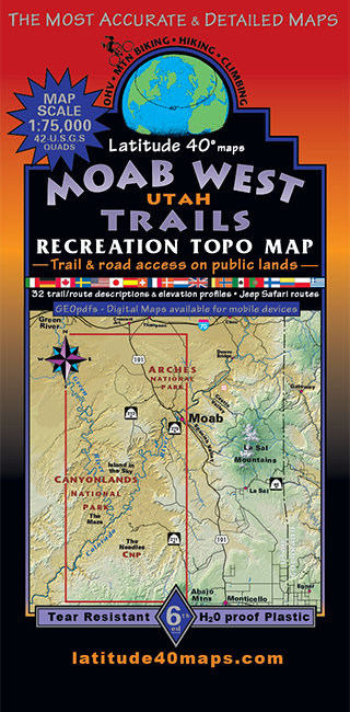
Moab West Trails
$14.95
A one-time price of $14.95 will be added to your order.
- Description
For orders outside the U.S., please email us.
Also available as an Avenza Digital Map
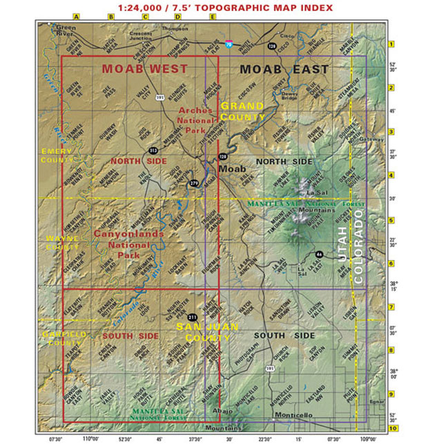
Map Coverage covers all or part of 36 USGS 1:24,000 7.5-minute topographic maps- North - 2 miles south of I-70
- South - 6 miles south of Beef Basin - the northern Abajo Mountains
- East - Moab
- West - The entire White Rim Trail
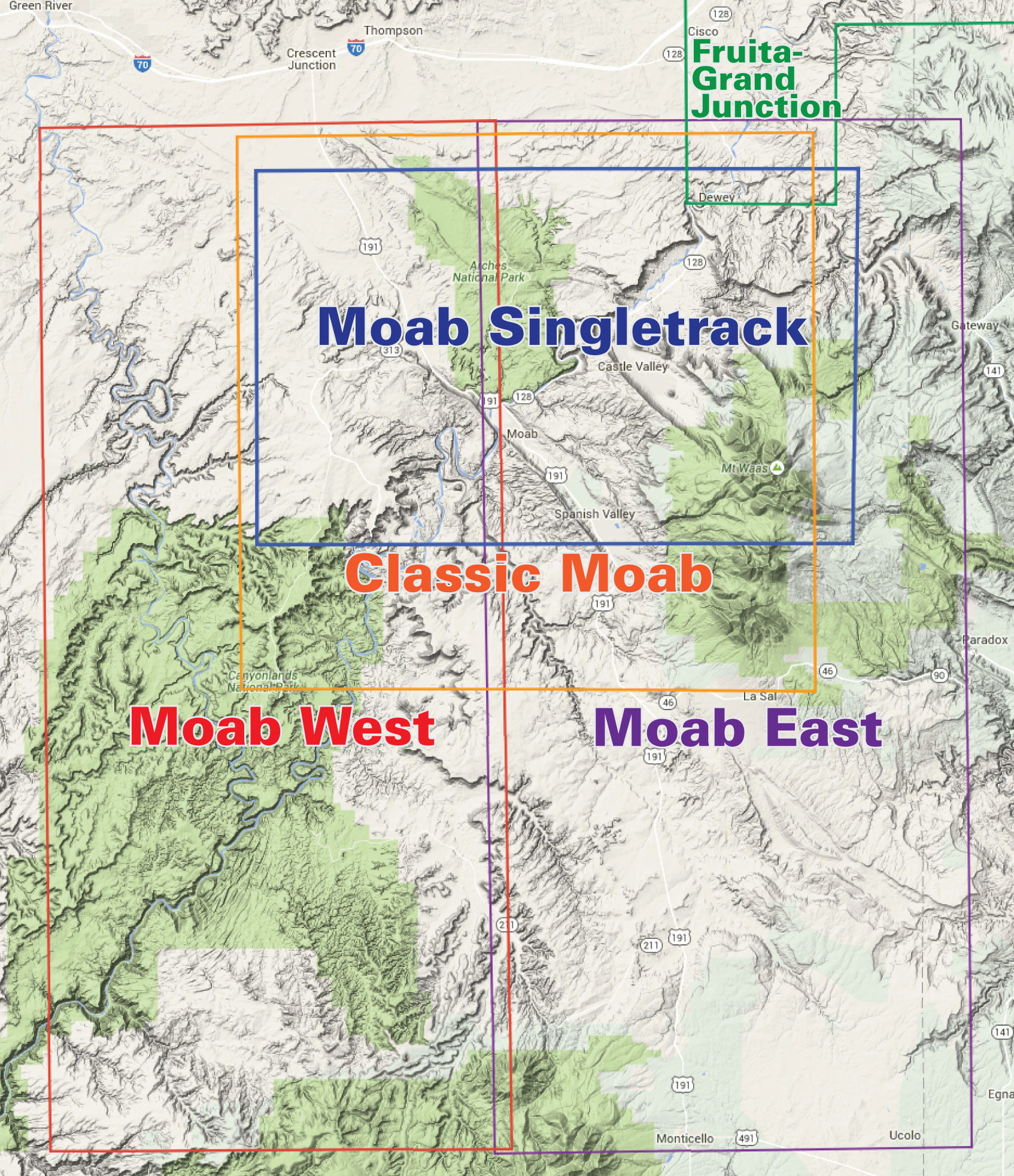
click to open locator
- 39"x 25" flat
- 8"x 4" folded
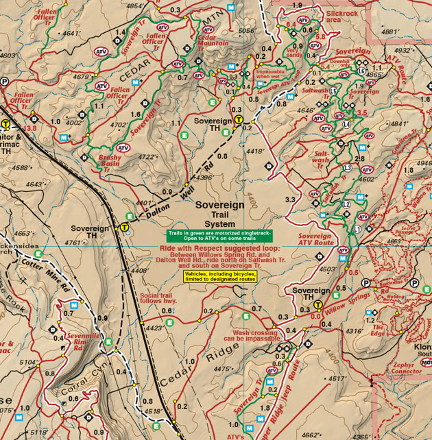
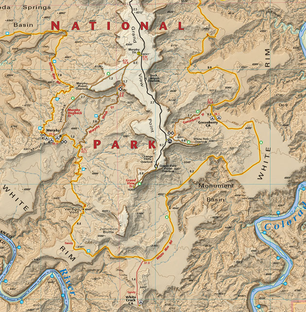
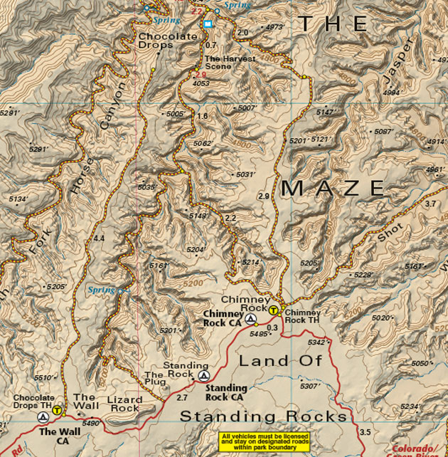
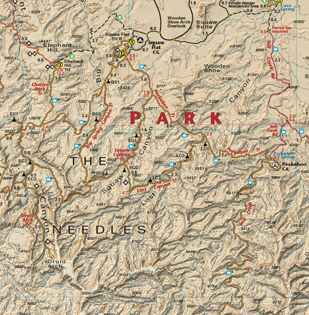
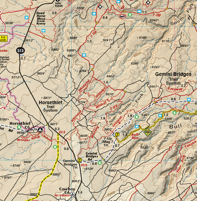
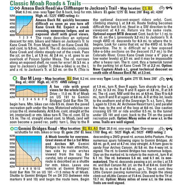
- trail descriptions for 45 routes, including degree of difficulty and length in miles
- elevation / distance profiles showing loss and gain
- GPSed trails and roads
- special use camping information
- information about the fragile desert, seasonal hazards, map reading, getting lost, etc.