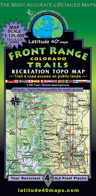
Front Range Trails
$14.95
A one-time price of $14.95 will be added to your order.
- Description
For orders outside the U.S., please email us.
Also available as an Avenza Digital Map
Map Coverage: All or part of 72 USGS 1:24,000 7.5-minute topographic maps- North map edge - Fort Collins, Horsetooth Reservoir
- South map edge - 6 mi. south of Mt. Evans
- East map edge - 5 mi. east of Federal Center
- West map edge - 2 mi. east of Granby
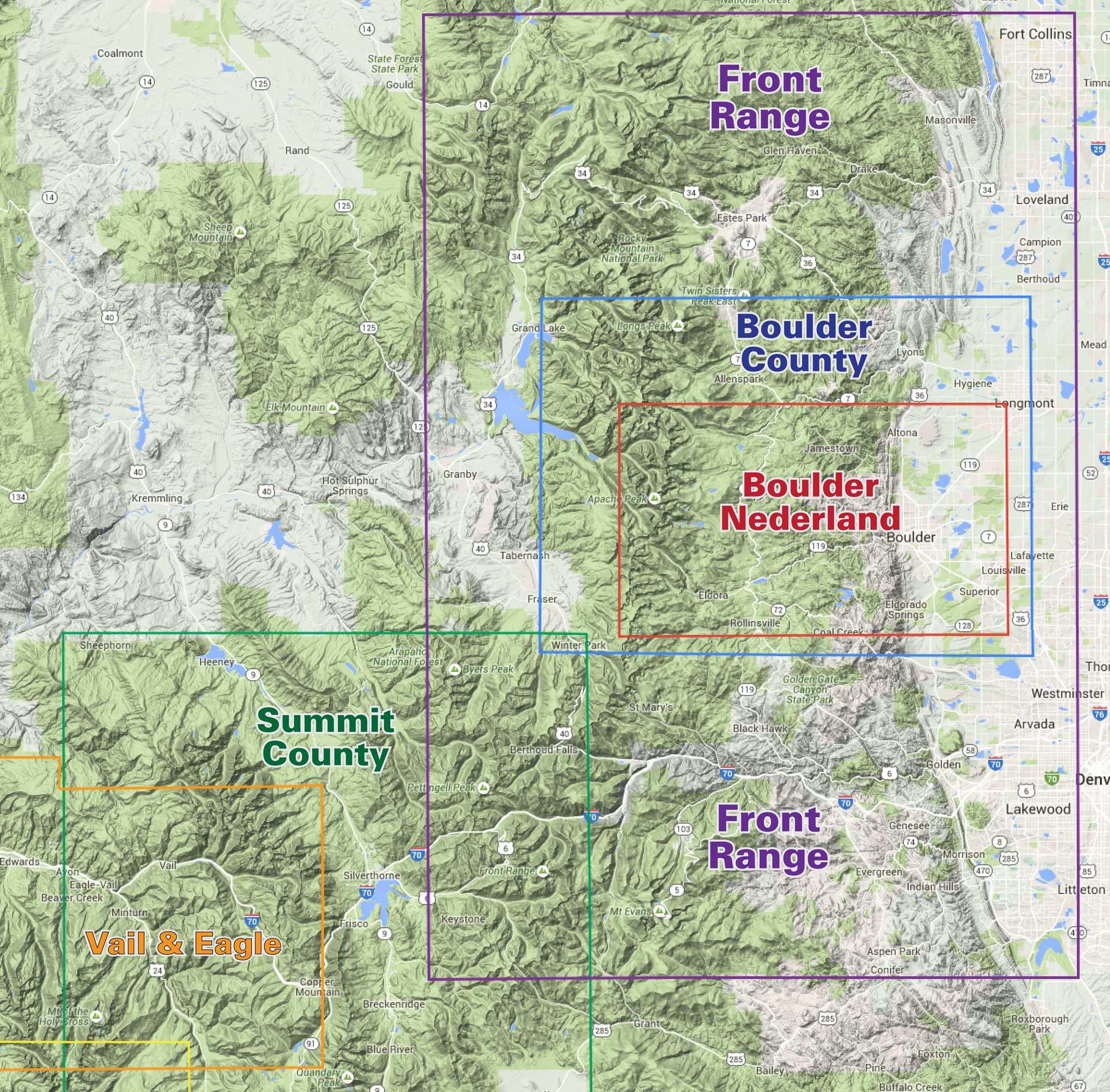
click to open locator
- 39" x 25" flat
- 8" x 4.2" folded
- 107 trail/route descriptions, noting degree of difficulty and length in miles
- elevation/distance profiles showing loss and gain
- fishing and campground information
- computer generated, 3-D, elevation-tinted images of the area
- highlighted public access hiking, mtn. biking, OHV, equestrian trails and roads
- campgrounds, mountain parks and open space areas
- all or parts of 9 Wilderness Areas